BL-L/G FOR WINDOWS GSSoftware packet

Postprocessing of geodetic GPS/GLONASS-receivers measurements. Field of application: The packet can be used both for processing of JSC “RIRT” geodetic equipment measurements, and other geodetic receivers.

Postprocessing of geodetic GPS/GLONASS-receivers measurements.

Field of application:

The packet can be used both for processing of JSC “RIRT” geodetic equipment measurements, and other geodetic receivers.

Order form
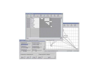
Postprocessing of geodetic GPS/GLONASS-receivers measurements.

  • Processing of various receivers single- and double-frequency measurements in “static”, “rapid static”, “reoccupation”, “stop and go”, “kinematic” and “kinematic flight”.
  • High-precision definitions of baselines up to 1-2 thousands km long.
  • High-precision absolute coordinate definitions in PPP mode, including dynamic ones.
  • Measurements conversion from RINEX format (including Compact RINEX) and backwards.
  • Automatic creation and maintenance of project archives.
  • Session scheduling using user-extendible points list.
  • Screen and printer output of final reports.


Delivery options:

Delivered in single- and double-frequency options.

BL-L/G FOR WINDOWS GSSoftware packet is designed for postprocessing of geodetic receivers measurements.


Main features:


  • The whole of completely automatic processing of both separate lines and any combinations with broad opportunities of participating in the experienced operator processing.
  • The use of state-of-the-art algorithms for baselines accelerated processing and fast phase ambiguity resolution.
  • GLONASS measurements processing, in particular off-line processing.
  • High-capacity set of instruments for tasks solving under adverse observing conditions.
  • Unprecedented broad opportunities for measurements editing and masking.
  • The opportunity of using meteorological data in order to raise the solution precision.
  • The opportunity of using SP3 precise ephemeris.
  • The processing results output both in graphic and table form.
  • The opportunity of calculating the local coordinates and the points altitudes.