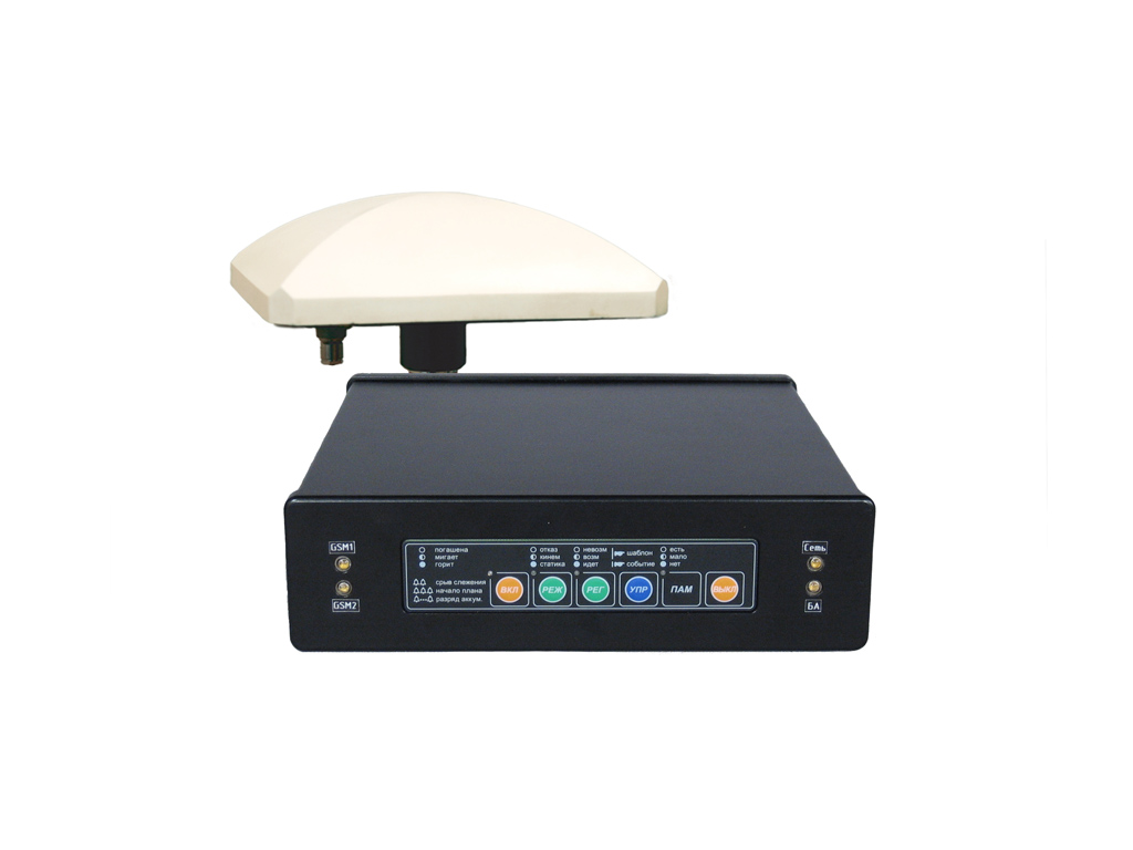
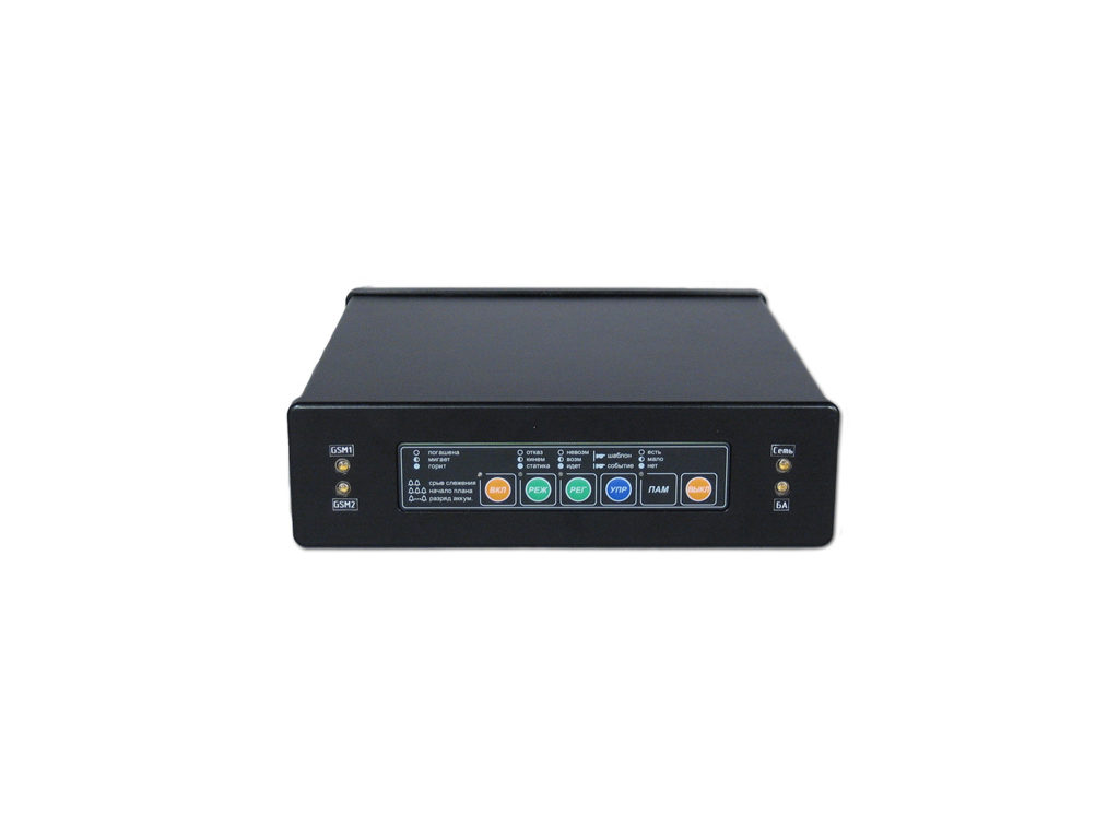
Forms correcting information for GNSS GLONASS/GPS receivers measurements and transmits it to consumers using communications technical means. Field of application: The equipment is designed for maximum improvement in geodetic works effectiveness and can be used in the most various areas, such as: geodetic referencing; geodetic network construction and bridging; building and surveying; underground surveying; engineering…
Forms correcting information for GNSS GLONASS/GPS receivers measurements and transmits it to consumers using communications technical means.
Field of application:
The equipment is designed for maximum improvement in geodetic works effectiveness and can be used in the most various areas, such as:
- geodetic referencing;
- geodetic network construction and bridging;
- building and surveying;
- underground surveying;
- engineering surveying;
- geologic exploration;
- topographic photography;
- landmarking;
- land cadaster and many other things.